
Collines D'Alembert Hiking Trails
Collines D'Alembert Hiking Trails
Rouyn-Noranda (D'Alembert), Rouyn-Noranda
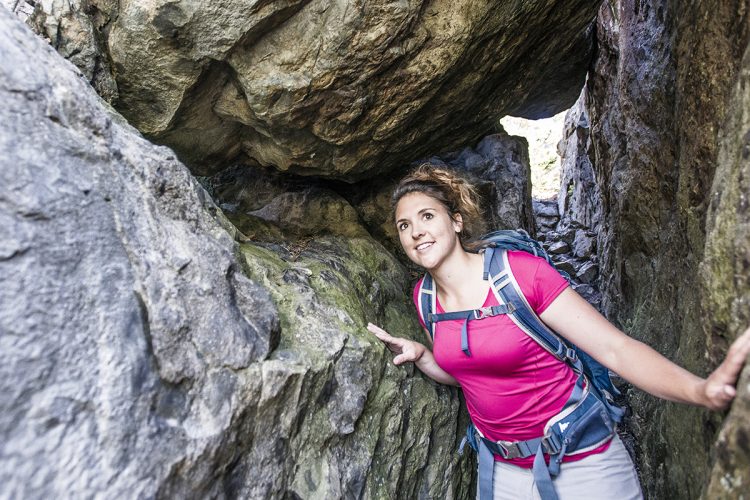
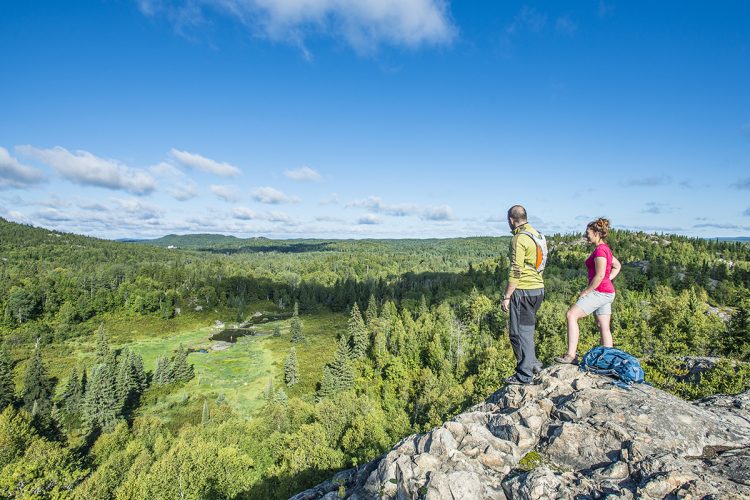
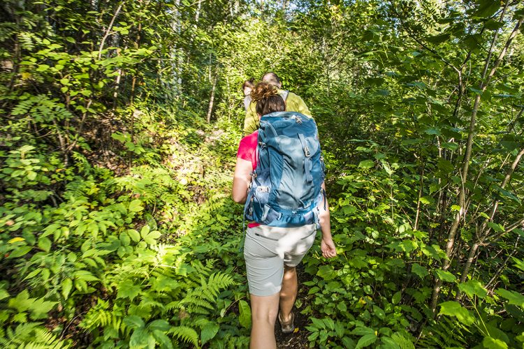
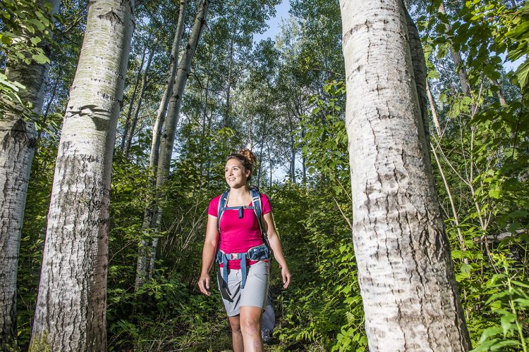
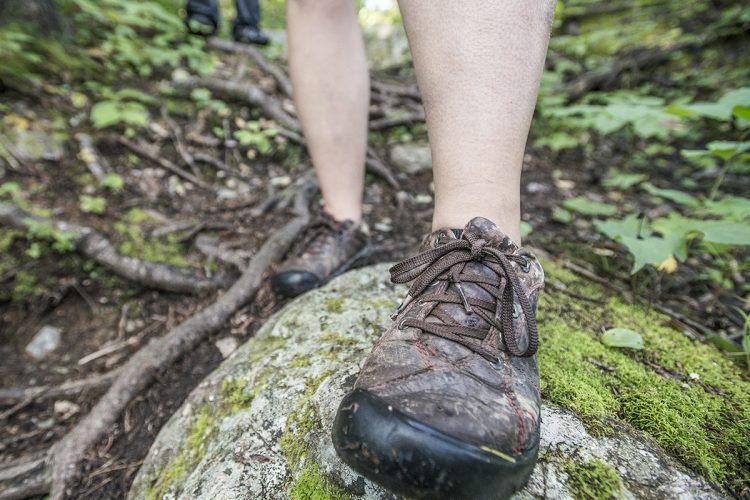
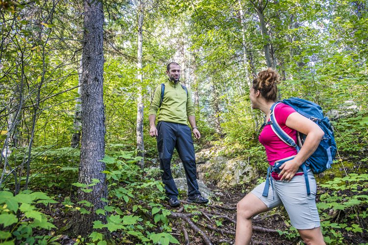
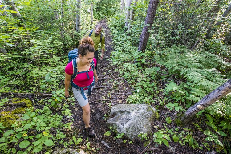
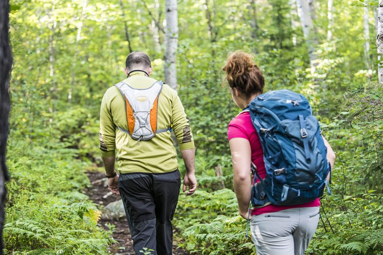
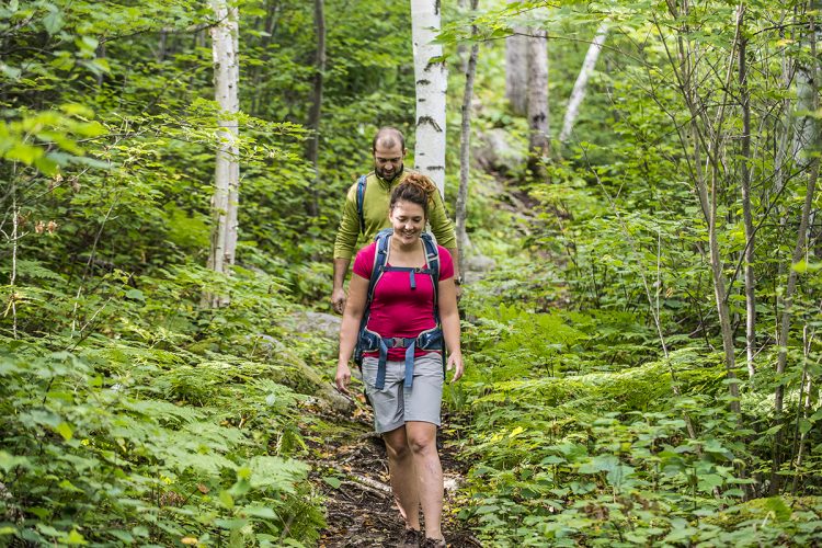
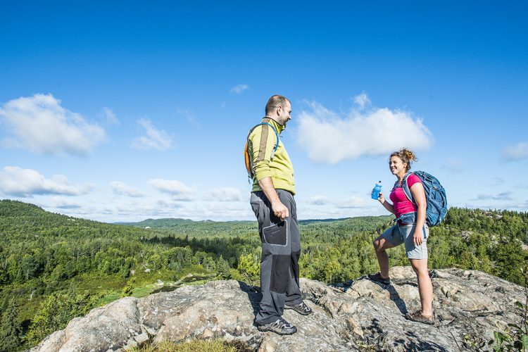
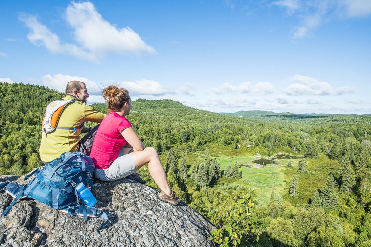
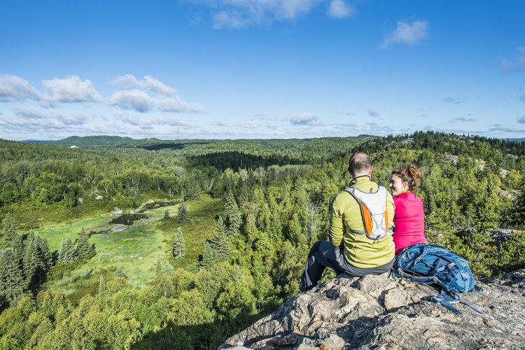
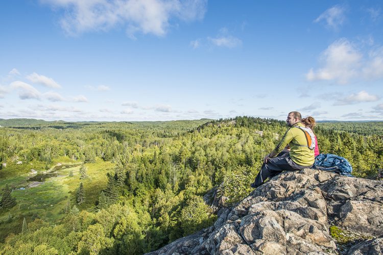
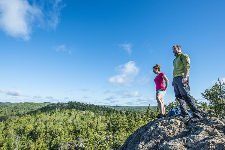
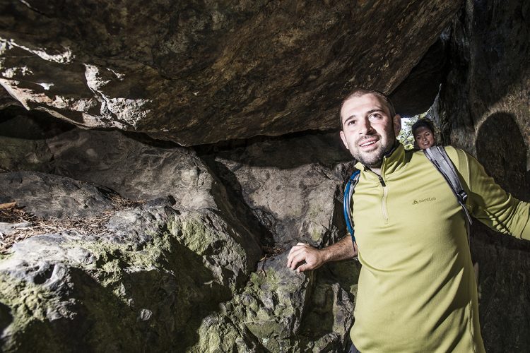
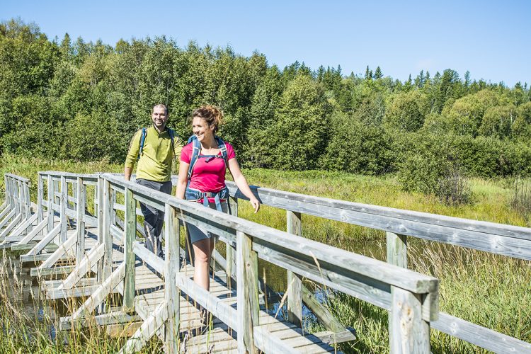
Near the city center of Rouyn-Noranda, the D'Alembert district offers hills dotted with cliffs and waterways, with several viewpoints on the region. There are seven trails marked with inukshuks. Chickadees come to eat on the trail of the same name. Located in the mountains, the Griffe trail passes through a tunnel in the rock. The Beaver trail allows you to see their dam. The trail of the Caves passes several small caves and you can observe the phenomenon of volcanic cushion. Interpretive panels on flora and fauna are scattered along the trails.
- electrocardiogram Easy to Demanding
- mountain 7.7 Km (Mixed)
- calendar seasonal
Sections
La Veine de Quartz
- electrocardiogram Easy
- mountain 0.06 km (Linear)
La Griffe
- electrocardiogram Easy
- mountain 1.37 km (Linear)
Retour à la Montagne
- electrocardiogram Easy
- mountain 0.20 km (Linear)
Des Grottes
- electrocardiogram Easy
- mountain 1.40 km (Linear)
Les Pics
- electrocardiogram Easy
- mountain 0.79 km (Linear)
Les Castors
- electrocardiogram Easy
- mountain 1.28 km (Linear)
Sortie de secours
- electrocardiogram Easy
- mountain 0.55 km (Linear)
Les Mésanges
- electrocardiogram Easy
- mountain 0.46 km (Mixed)
Points of service and interest
Category Name
-
 Picnic table
Aire de pique-nique du parc D'Alembert(rte 101 Nord / rue Harrison - 100 mètres)
48°21'45.293”N
Picnic table
Aire de pique-nique du parc D'Alembert(rte 101 Nord / rue Harrison - 100 mètres)
48°21'45.293”N
79°1'8.293”O -
 Parking
Stationnement de Collines D
48°21'44,137"N
Parking
Stationnement de Collines D
48°21'44,137"N
79°1'18,114"O -
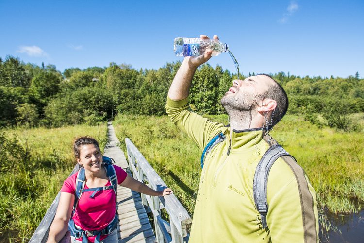
 Point of interest
Pont du sentier Les Mésanges
48°21'43,286"N
Point of interest
Pont du sentier Les Mésanges
48°21'43,286"N
79°1'22,123"O -
 Panorama
Vue panoramique
48°21'30,122"N
Panorama
Vue panoramique
48°21'30,122"N
79°1'49,188"O -
Panorama
Vue panoramique du sentier Les Grottes
48°21'15,209"N
79°1'57,134"O -
Panorama
Vue panoramique du sentier Les Pics
48°21'17,838"N
79°2'44,806"O -
 Bench
Banc du sentier Les Castors
48°21'29,358"N
Bench
Banc du sentier Les Castors
48°21'29,358"N
79°1'54,377"O -
Bench
Banc du sentier La Griffe
48°21'28,964"N
79°1'46,15"O
Accessibility
Access Rights
Free of charge, without visitors infrastructure.
Pets are allowed.
Directions to the starting point
From Rouyn-Noranda, take Route 101 Nord for 15 km towards the D'Alembert district. 100 m after the intersection of the Cléricy road, turn left (west) onto Harrisson Street. Drive 500 m to the sign.
Parking: free outside. Position: 79°1'18,817"O 48°21'44,547"N
Markings
Map at intersections, small red and blue signs, ribbons and paint. In the mountains, arrows and inoukchouks indicate the way to go.
Contact
Association sportive D’Alembert 5087, rue Saguenay, Rouyn-Noranda (Québec) J9Y 0B1 T 819 797-0007 ou 819 797-7111
Specifications
- Presence of interpretive panels.
Natural Environment
Geography
Landscapes of plain and with varied geological forms (volcanic cushion, quartz vein, fault, rock slides).
Comments social0
Tools ready to go
- map Guide map (PDF)
- mapsquare Download GPS track (GPX)
- Google driving directions
-
 Sunrise : 07:29
Sunset : 18:34
- pdf Planification Randonnee Apa
- pdf Equipement Randonnee Pedestre
- pdf Gestion Des Risques Randonnee Pedestre Apa
- pdf Sans Trace Apa
Info & advice
- Activité
- Animation et interprétation
- Camping
- Care
- Carte et orientation
- Caution
- Emergency
- Encadrement
- Equipment
- Jamais sans mon chien
- Nutrition
-
Prevention
- 10 articles de première nécessité
- Bien s'hydrater
- Comment lire la météo dans les nuages? Faire la pluie et le beau temps !
- Éviter les ampoules aux pieds
- Éviter les mauvaises rencontres en milieu sauvage
- Feu de camp sécuritaire : trois étapes à respecter
- Insectifuges
- Les moustiques
- Lunettes de soleil
- MALADIE DE LYME : PRÉVENIR LES PIQÛRES DE TIQUE EN RANDONNÉE
- Perdu en forêt : quoi faire?
- Se protéger contre le soleil
- Vaporisateur Chasse-ours
- Progression
- Réglementation
- Training
Caution
This sheet has been prepared from information provided by outdoor enthusiasts deemed sufficiently reliable and experienced. Errors or omissions are always possible and Tourisme Abitibi-Témiscamingue cannot accept responsibility for any problem or accident that may arise from this sheet or be attributed to its use. If you notice any errors or omissions during your expedition, we would be very grateful if you would let us know by email pleinair@atrat.org in order to keep our information up to date.
