
Collines d'Hébécourt hiking trails

Collines d'Hébécourt hiking trails
Rapide-Danseur, La Sarre et l'Abitibi-Ouest
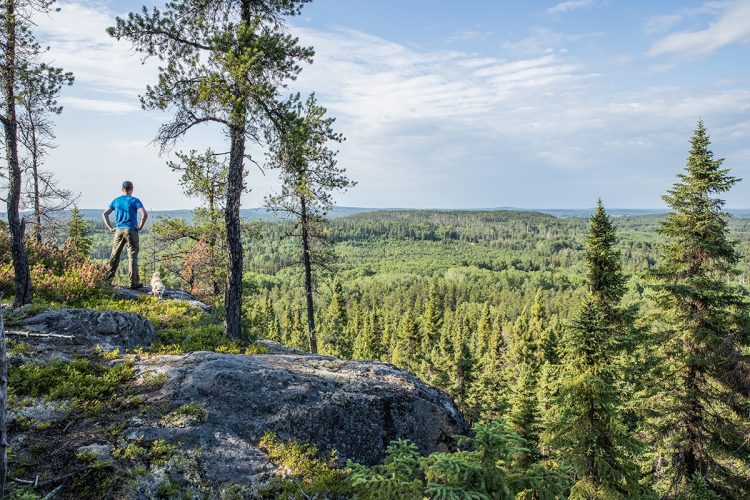
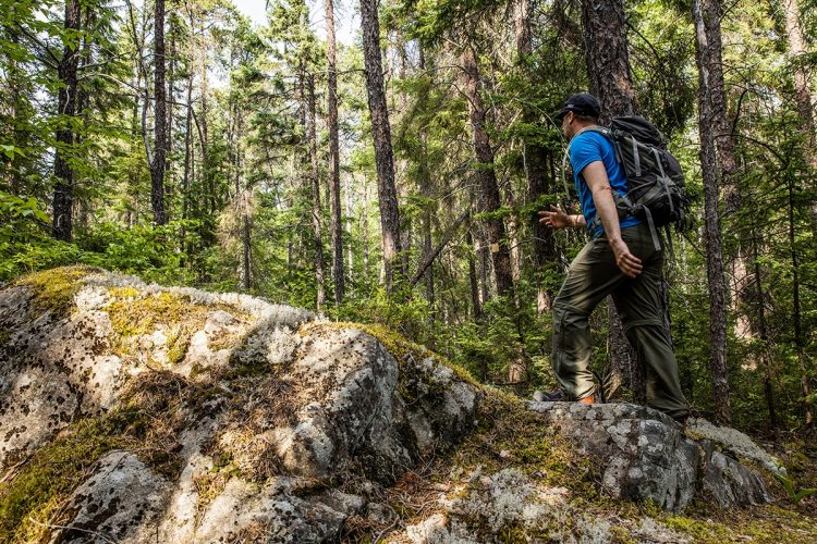
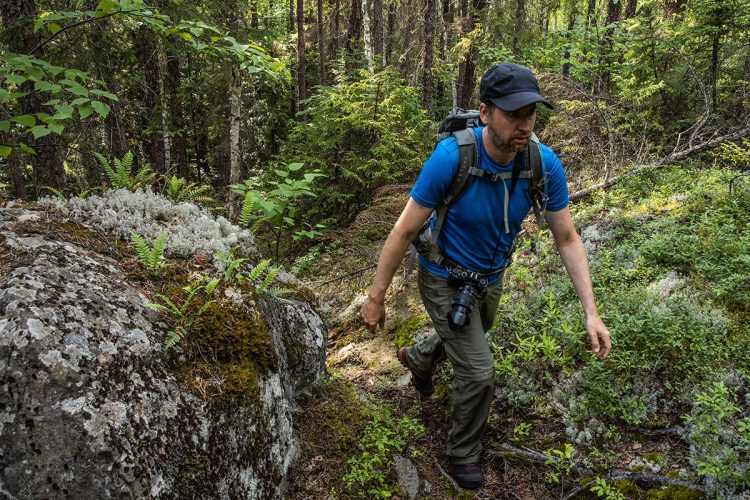
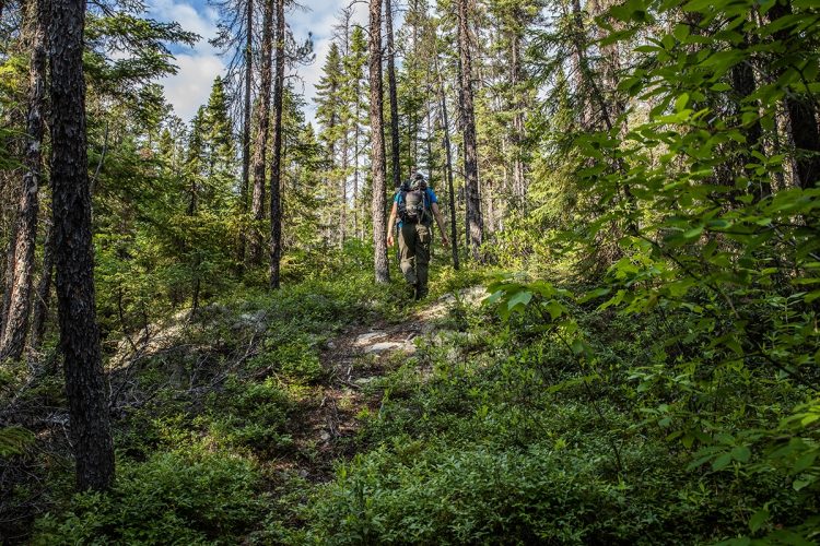
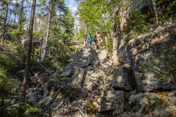
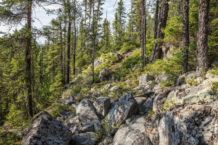
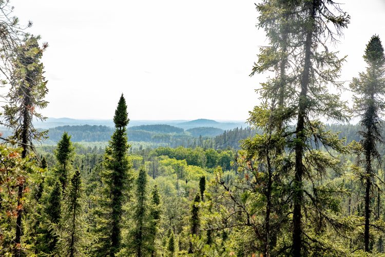
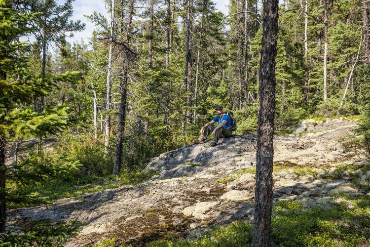
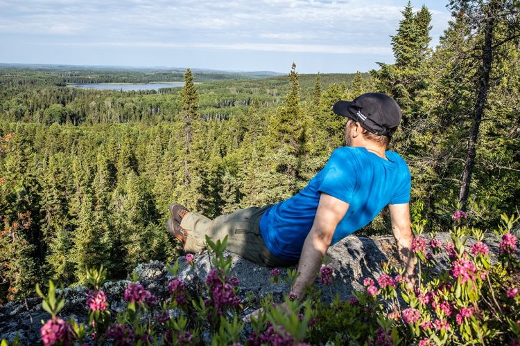
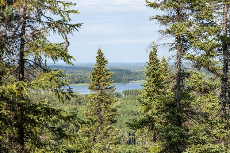
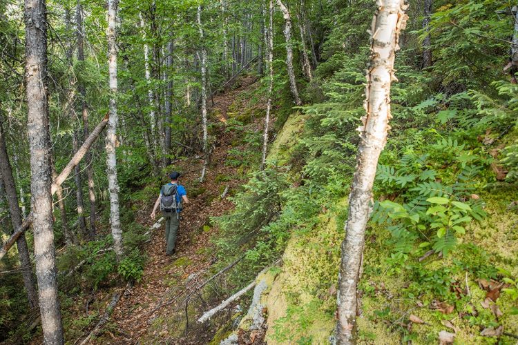
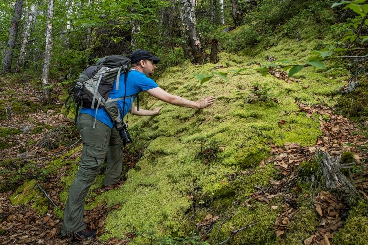
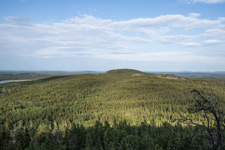
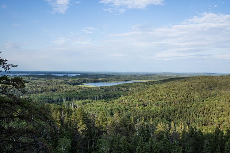
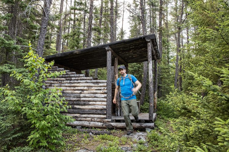
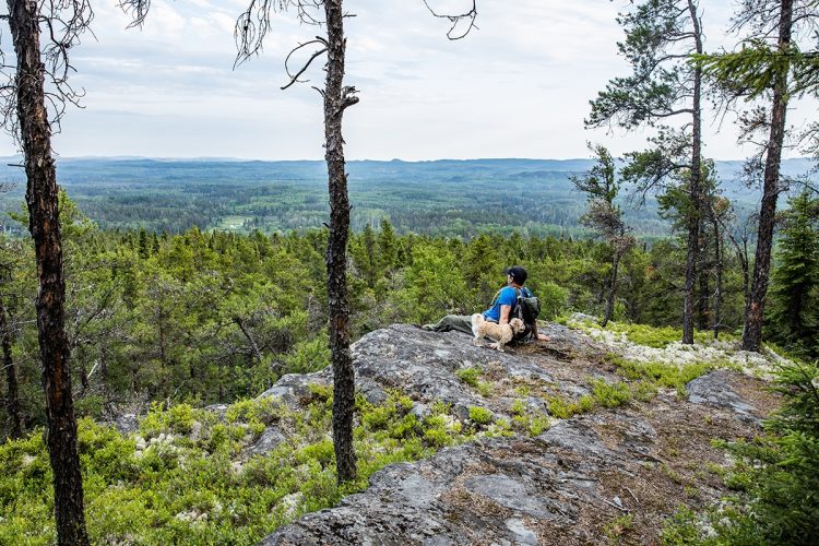
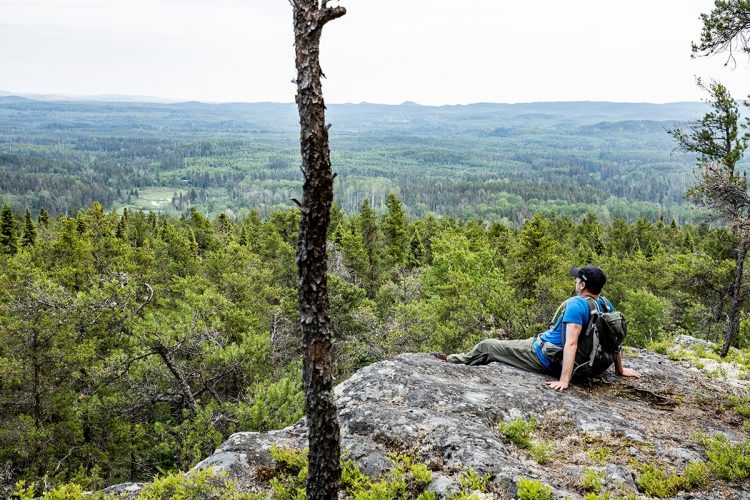
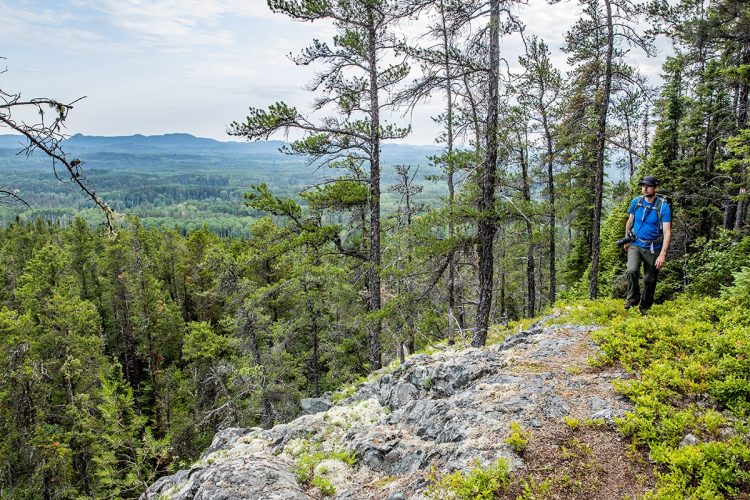
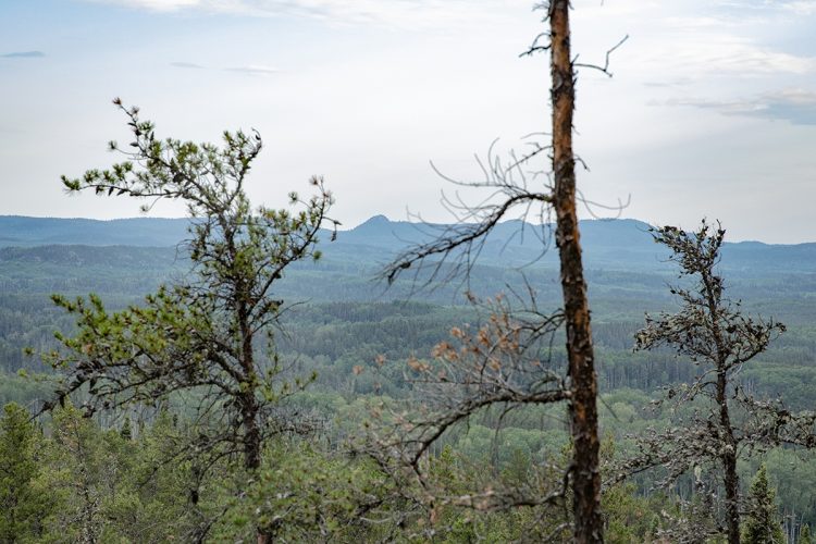
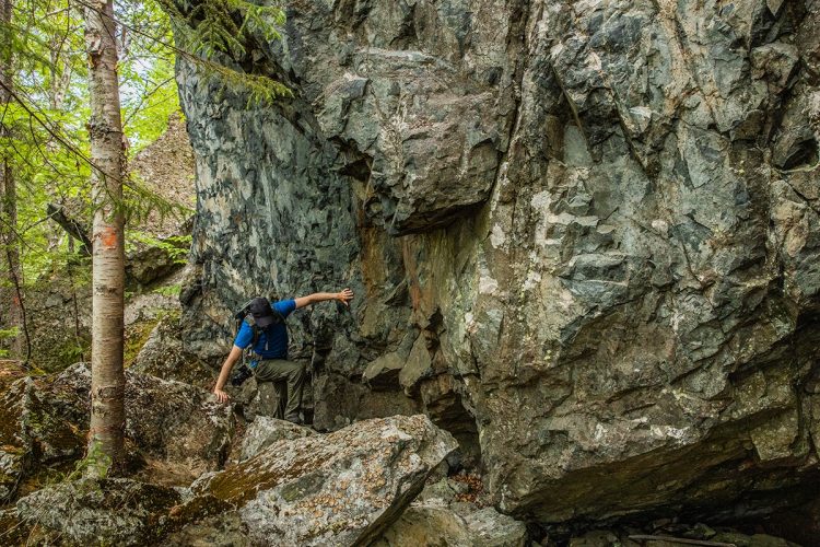
The Duparquet Lake Teaching and Research Forest is a privileged place for research, experimentation and demonstration to ensure the long-term preservation of natural territories. This 8045-hectare forest invites hikers to explore the trails of the Hébécourt hills, the highest hills in the region. The network offers you different loops on a winding course and in a beautiful setting. At several places on the top of the hills, breathtaking views invite you to stop in the south and west to contemplate the lakes Hébécourt, Duparquet and Monsabrais and north, a sea of forest and hills. It is also possible to observe the various development and harvesting work carried out by the research station team on these high peaks. A three-wall shelter with picnic table is set up on the top of the hills.
- electrocardiogram Moderate to Demanding
- mountain Mixed
- calendar seasonal
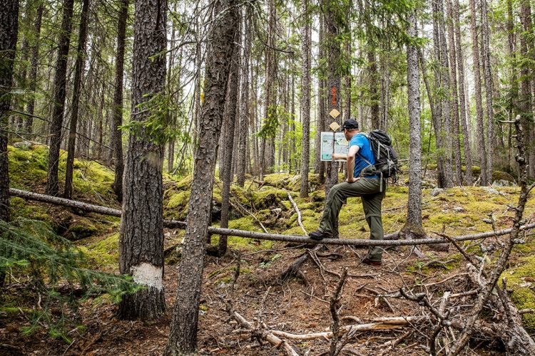
Sections
Boucle-Les Belvédères
- electrocardiogram Easy
- mountain 2.15 km (Linear)
Boucle-Les Parois
- electrocardiogram Easy
- mountain 2.69 km (Linear)
Sentier-Les Éboulis
- electrocardiogram Easy
- mountain 1.59 km (Linear)
Sentier-Vue du nord
- electrocardiogram Easy
- mountain 1.07 km (Linear)
Connexion
- electrocardiogram Easy
- mountain 0.28 km (Linear)
Points of service and interest
Category Name
-
 Parking
Stationnement des Collines d'Hébécourt
48°27'59.5"N
Parking
Stationnement des Collines d'Hébécourt
48°27'59.5"N
79°26'48.9"O -
Refuge à trois murs
-
Parking
Stationnement
48°27'48"N
79°26'20"O -
 Panorama
Point de vue Les Éboulis
48° 28.070'N
Panorama
Point de vue Les Éboulis
48° 28.070'N
79° 26.419'O -
Panorama
Point de vue -Sentier des éboulies
48° 27.907'N
79° 26.211'O -
Panorama
Point de vue-Sentier Vue du Nord
48° 28.301'N
79° 26.284'O -
Panorama
Point de vue-Sentier Les Belvédères
48° 28.035N
79° 26.199'O -
Panorama
Point de vue-Sentier Les Belvédères 2
48° 28.047N
79° 26.185O -
Panorama
Point de vue-Sentier Les Belvédères 3
48° 28.110N
79° 26.141O -
Panorama
Point de vue-Sentier Les Belvédères 4
48° 28.240'N
79° 26.170,O -
Panorama
Point de vue Les Belvédères
48° 28.277'N
79° 26.213'O
Accessibility
Access Rights
Free, no visitor facilities.
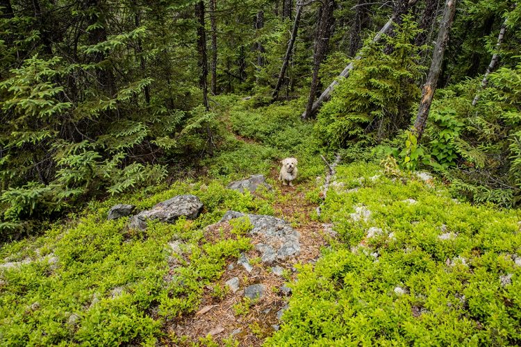
Pets are allowed.
Directions to the starting point
From Rouyn-Noranda, take Route 101 North. Turn left onto Route 393 North. Turn left onto Route 388 West and continue for 15 km. Turn left onto Magusi Road. The first parking lot is on the left side of the road. To reach the parking lots 2 and 3, after 7 km on the Magusi road, turn left. Parking lots 2 and 3 are on this road on the left side.
Parking : free.
Specifications
- Groomed runs for classic and skating.
- Traditional double track.
- Flat to hilly terrain.
Natural Environment
Flora
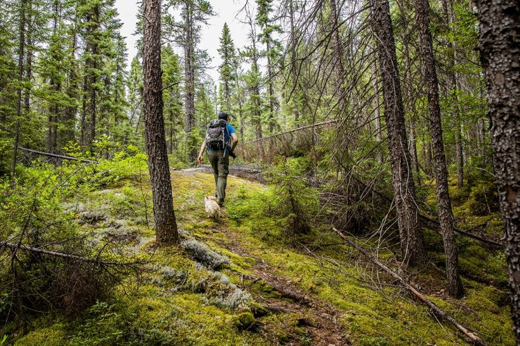
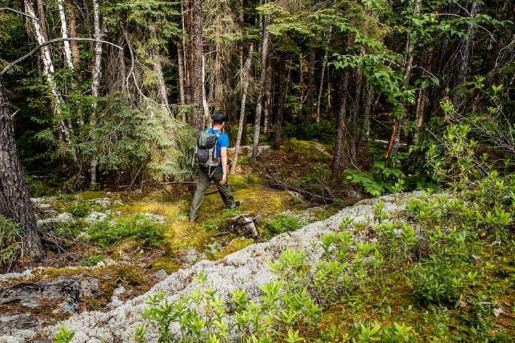
Mainly grey pines but also some black spruce. The ground of some areas is covered with a carpet of lichens.
Comments social0
Tools ready to go
- pdf Planification Randonnee Apa
- pdf Equipement Randonnee Pedestre
- pdf Gestion Des Risques Randonnee Pedestre Apa
- pdf Systemes Communications
- pdf Sans Trace Apa
Info & advice
- Activité
- Animation et interprétation
- Camping
- Care
- Carte et orientation
- Caution
- Emergency
- Encadrement
- Equipment
- Jamais sans mon chien
- Nutrition
-
Prevention
- 10 articles de première nécessité
- Bien s'hydrater
- Comment lire la météo dans les nuages? Faire la pluie et le beau temps !
- Éviter les ampoules aux pieds
- Éviter les mauvaises rencontres en milieu sauvage
- Feu de camp sécuritaire : trois étapes à respecter
- Insectifuges
- Les moustiques
- Lunettes de soleil
- MALADIE DE LYME : PRÉVENIR LES PIQÛRES DE TIQUE EN RANDONNÉE
- Perdu en forêt : quoi faire?
- Se protéger contre le soleil
- Vaporisateur Chasse-ours
- Progression
- Réglementation
- Training
Caution
This sheet has been prepared from information provided by outdoor enthusiasts deemed sufficiently reliable and experienced. Errors or omissions are always possible and Tourisme Abitibi-Témiscamingue cannot accept responsibility for any problem or accident that may arise from this sheet or be attributed to its use. If you notice any errors or omissions during your expedition, we would be very grateful if you would let us know by email pleinair@atrat.org in order to keep our information up to date.
