
Balbuzard Hiking Trails

Balbuzard Hiking Trails
Rapide-Danseur, La Sarre et l'Abitibi-Ouest
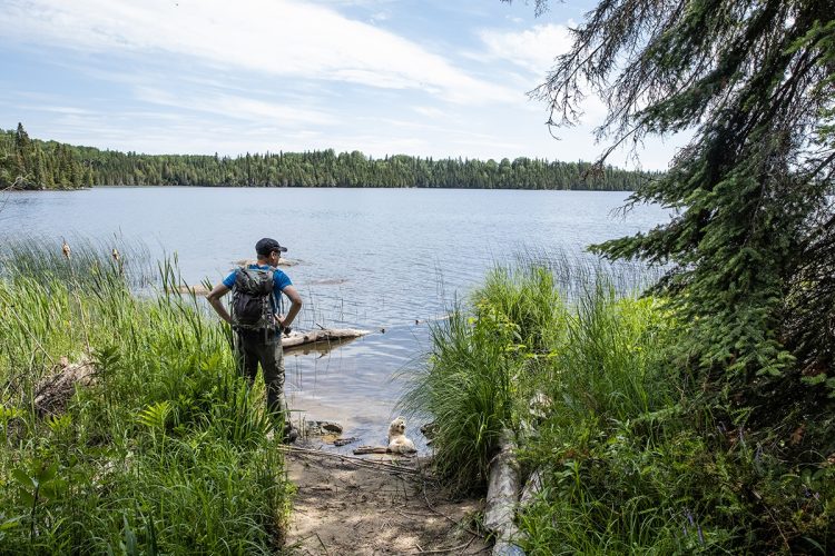
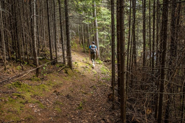
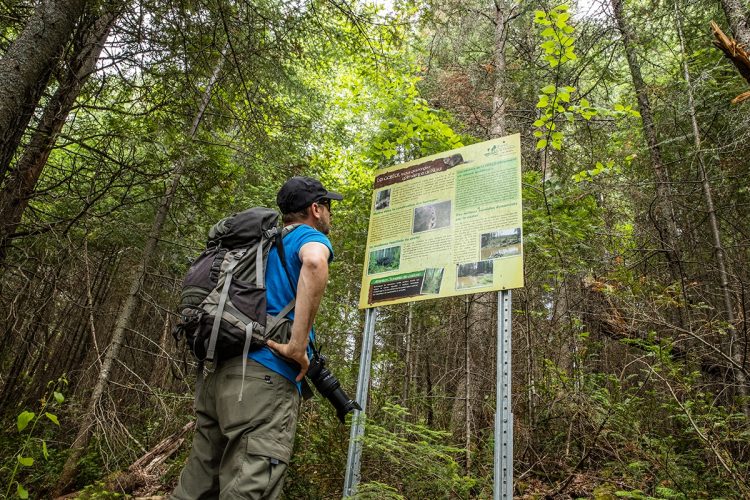
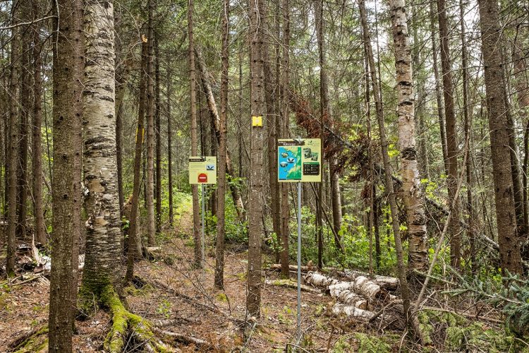
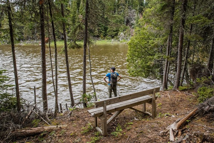
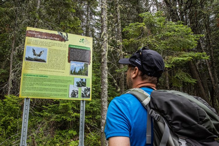
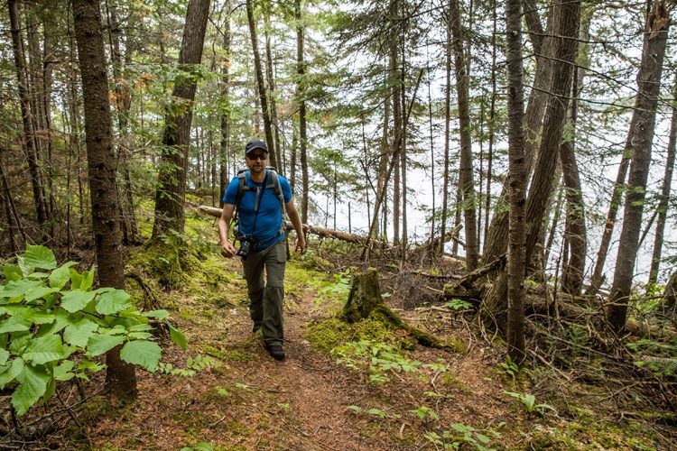
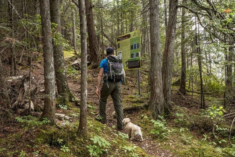
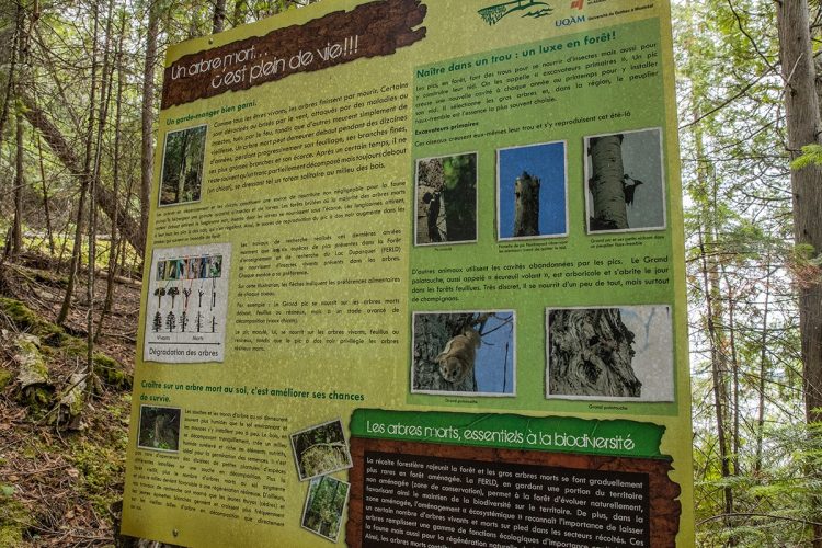
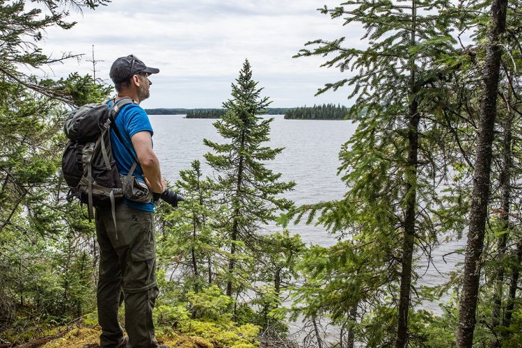
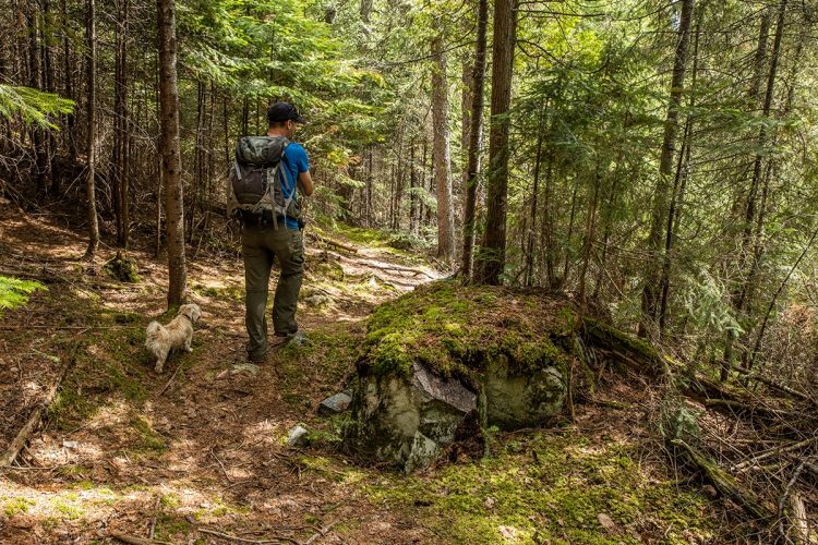
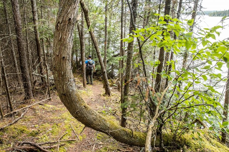
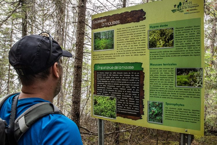
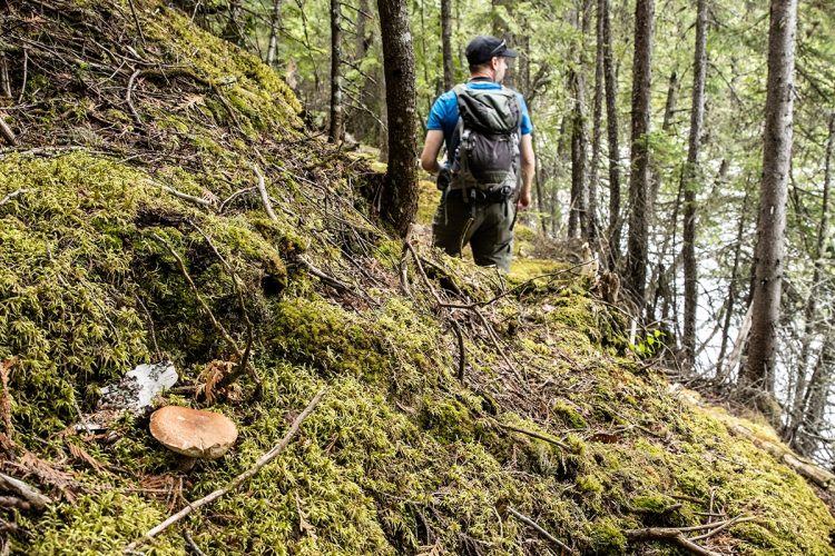
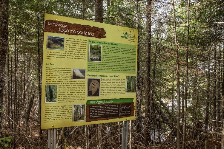
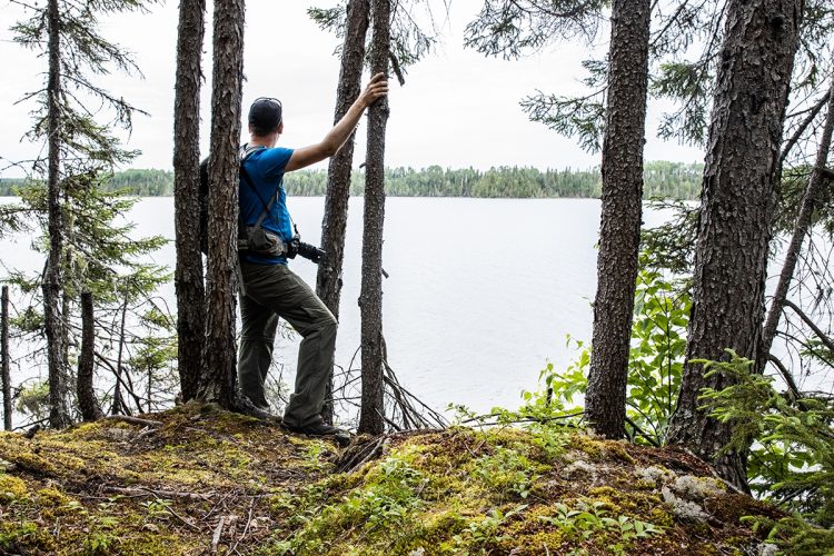
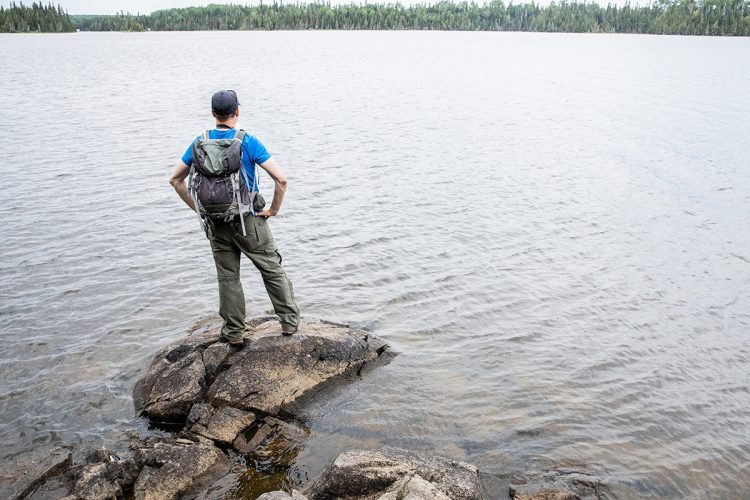
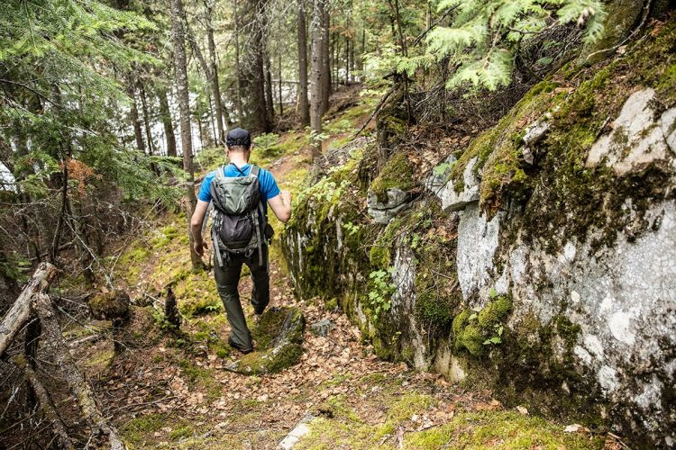
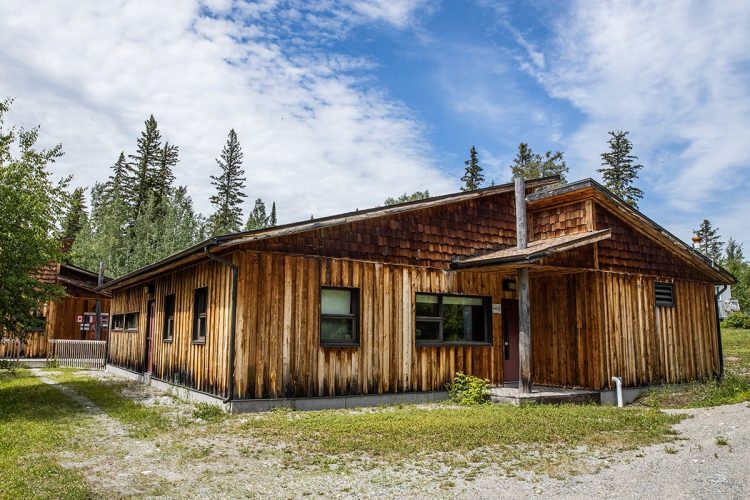
Located on the shores of Lake Hébécourt and starting at the research station of the Duparquet Teaching and Research Forest, the 4 km-long Balbuzard trail allows you to see ospreys from a platform set up in the top of a tree. Six interpretive panels offer explanations on aspects of forest ecology and wildlife habitats based on research conducted at the Université du Québec en Abitibi-Témiscamingue and the Université du Québec à Montréal. The research being conducted in this 8,045-hectare forest is aimed, among other things, at ensuring the long-term preservation of natural areas.
- electrocardiogram Easy
- mountain 2.33 Km (Mixed)
- calendar seasonal
Sections
Le Balbuzard
- electrocardiogram Easy
- mountain 2.10 km (Mixed)
Access : Through the parking lot of the research station
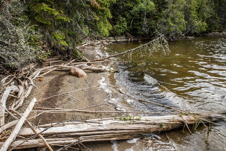
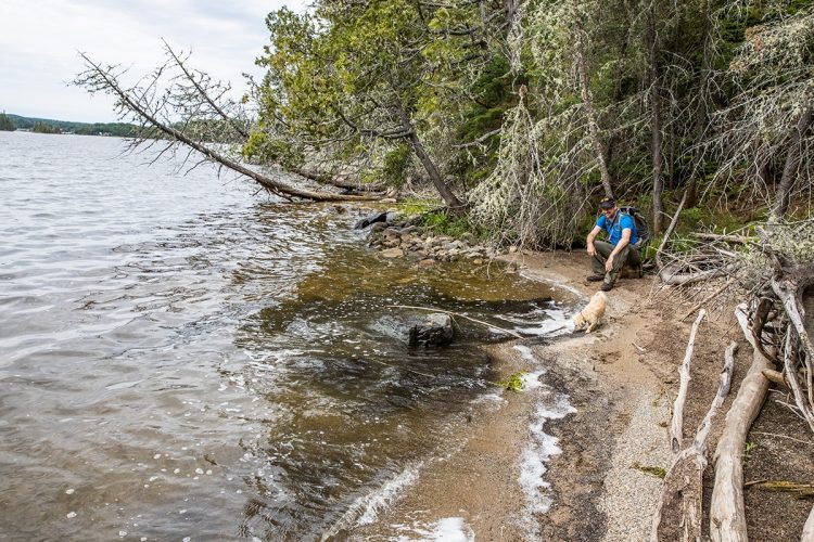
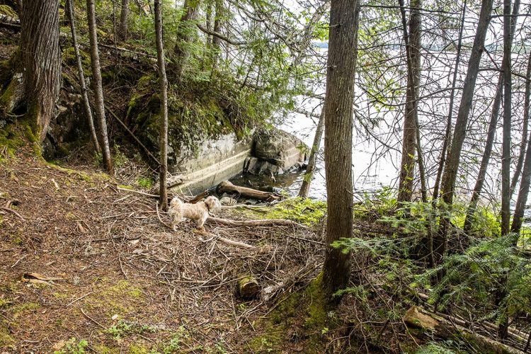
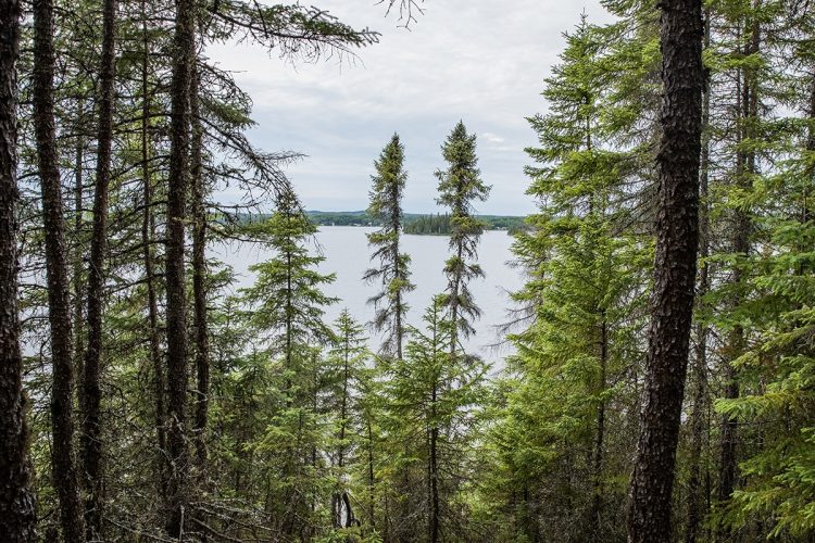
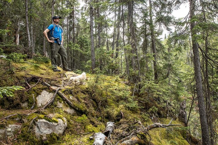
Interest : Interpretive panels, panoramic view of Hébécourt lake, view from the osprey platform, beach
Le Balbuzard Section Secondaire
- electrocardiogram Easy
- mountain 0.23 km (Linear)
Points of service and interest
Category Name
-
 Parking
Stationnement de la station de recherche
48°30'50,06"N
Parking
Stationnement de la station de recherche
48°30'50,06"N
79°22'1,733"O -
 Cottage for rent
Station de recherche
48°30'47,986"N
Cottage for rent
Station de recherche
48°30'47,986"N
79°22'10,047"O -
 Point of interest
Plate-forme de nidification
48°30'39,179"N
Point of interest
Plate-forme de nidification
48°30'39,179"N
79°21'53,481"O -
 Sandy beach / Swimming
Plage du lac Hébécourt
48°30'21.795"N
Sandy beach / Swimming
Plage du lac Hébécourt
48°30'21.795"N
79°21'52"O -
 Panorama
Point de vue
48°30'18,875"N
Panorama
Point de vue
48°30'18,875"N
79°21'58,305"O -
Panorama
Point de vue
48°30'17,005"N
79°22'0,808"O -
Panorama
Point de vue
48°30'18,739"N
79°22'9,45"O -
Panorama
Point de vue
48°30'16,316"N
79°22'12,018"O
Accessibility
Access Rights
Free, no welcome center.
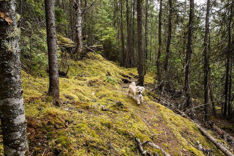
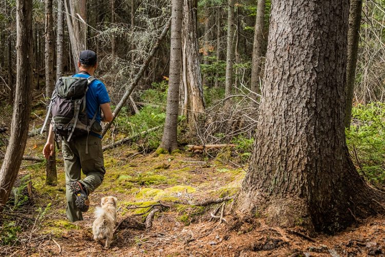
Pets are allowed.
Directions to the starting point
From Rouyn-Noranda, take Route 101 North. Turn left onto Route 393 North. Turn left onto Route 388 West and continue for 12 km. Turn left onto Chemin du Balbuzard. Follow the directions to the research station.
Outdoor parking : free.
Natural Environment
Created in 1995, the Lac Duparquet Teaching and Research Forest (LDRF) is dedicated to teaching and research in the fields of ecology and forestry. Every year, the LLRSF welcomes students and researchers from all over the world to conduct research in a range of disciplines related to forestry. The research being conducted in this 8,045-hectare (80 km2) forest aims, among other things, to ensure the long-term preservation of natural areas.
The RIAL is divided into two distinct areas: a development area and a conservation area. The conservation area is a mosaic of diverse stands where no forest harvesting is permitted. This portion of territory serves as a reference and allows the study of the natural evolution of the Abitibian forest. The development area, meanwhile, represents 75% of the land is dedicated to experimentation with innovative forestry practices and implementation of ecosystem management. Silvicultural treatments in the development area are based on natural processes observed in the conservation area.
A portion of the development area, about 3% of the territory, is devoted to ligniculture (intensive forestry). The cultivation of wood is similar to agriculture and aims to maximize the production of wood in this area. The main species found are poplar and hybrid larch.
History
Osprey
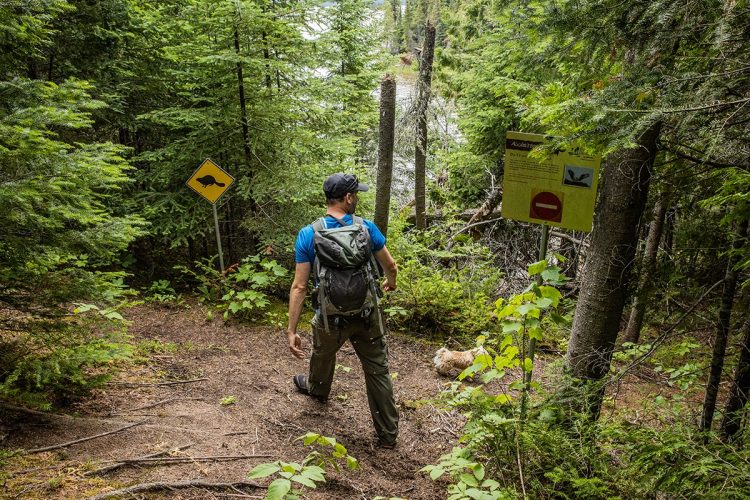
The osprey, also known as the fishing eagle, has been a regular visitor to the area around Lake Hébécourt since at least the 1990s. In 2004, a couple even took up residence close to the research station terrace. In 2005, one could witness the evolution of the clutch by sipping its coffee! Perhaps disturbed by the activity that reigns at the station, the birds then established their quarters a little further.
The nests however seem to be poorly anchored since they fall repeatedly. The LDMLF staff decided to give them a hand by installing, in winter 2009, a nesting platform for them. The view seems to please them since ospreys nest there.
Wildlife
The visit of the trail Le Balbuzard allows the observation of a platform set up to promote the nesting of the osprey. It is highly possible to see this bird print on this one in the summer period.
THE LRFA IS HOME TO THE LONGEST BEAVER DAM IN QUEBEC
The FERLD is home to the longest beaver dam in Quebec, measuring 437 m, about four times the length of a football field! Abitibi is a beaver paradise. Water is omnipresent, the terrain not very rugged and aspen poplar, his favorite dish, very abundant.
In 2009, it was estimated that about 3% of the RIF area was affected by beaver activity, and there were 458 dams! In addition, it is estimated that almost two-thirds of the small rivers that cross the LDMLF are modified by the activities of the species. The beaver is by far the most trapped species in the Forest; from 2006 to 2008,480 furs from the LDMLF were traded.
Flora
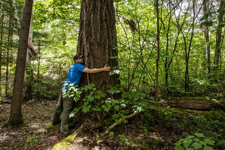
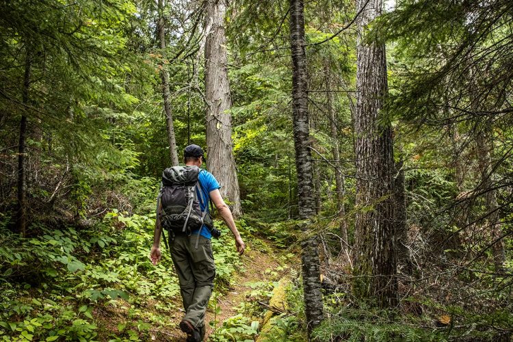
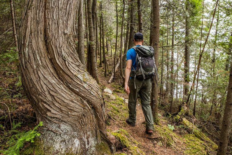
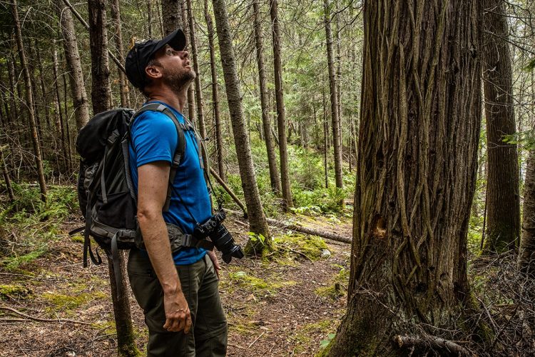
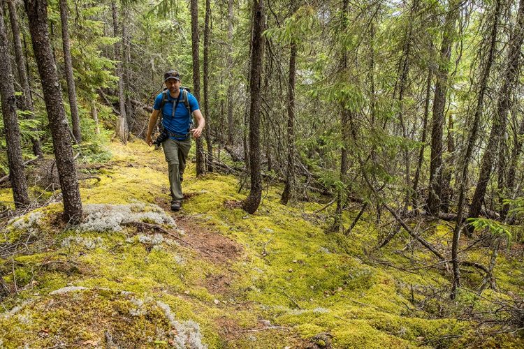
The trails run through a forest that has not burned for nearly 250 years, where poplars, fir trees, spruce, birch and thuja live alongside each other in a mixture typical of old-growth mixed boreal forests.
Comments social0
Tools ready to go
- pdf Planification Randonnee Apa
- pdf Equipement Randonnee Pedestre
- pdf Gestion Des Risques Randonnee Pedestre Apa
- pdf Sans Trace Apa
Info & advice
- Activité
- Animation et interprétation
- Camping
- Care
- Carte et orientation
- Caution
- Emergency
- Encadrement
- Equipment
- Jamais sans mon chien
- Nutrition
-
Prevention
- 10 articles de première nécessité
- Bien s'hydrater
- Comment lire la météo dans les nuages? Faire la pluie et le beau temps !
- Éviter les ampoules aux pieds
- Éviter les mauvaises rencontres en milieu sauvage
- Feu de camp sécuritaire : trois étapes à respecter
- Insectifuges
- Les moustiques
- Lunettes de soleil
- MALADIE DE LYME : PRÉVENIR LES PIQÛRES DE TIQUE EN RANDONNÉE
- Perdu en forêt : quoi faire?
- Se protéger contre le soleil
- Vaporisateur Chasse-ours
- Progression
- Réglementation
- Training
Caution
This sheet has been prepared from information provided by outdoor enthusiasts deemed sufficiently reliable and experienced. Errors or omissions are always possible and Tourisme Abitibi-Témiscamingue cannot accept responsibility for any problem or accident that may arise from this sheet or be attributed to its use. If you notice any errors or omissions during your expedition, we would be very grateful if you would let us know by email pleinair@atrat.org in order to keep our information up to date.
