
Marais Laperrière Hiking Trails
Marais Laperrière Hiking Trails
Duhamel-Ouest, Témiscamingue
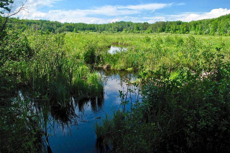
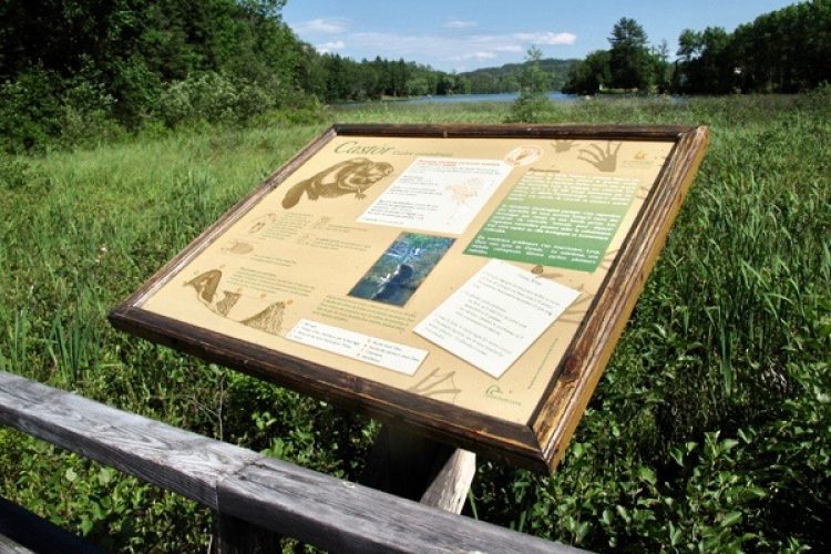
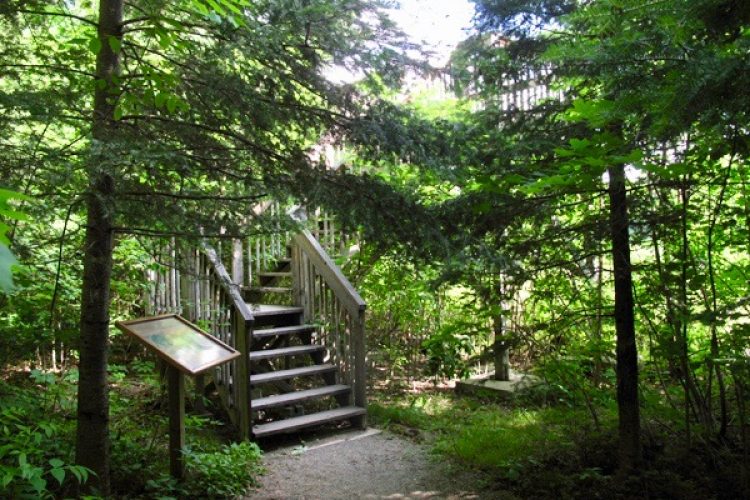
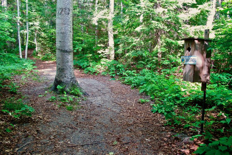
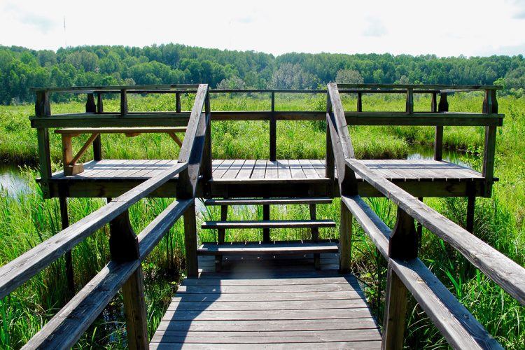
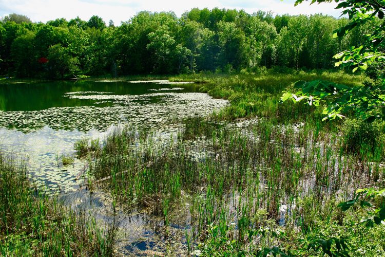
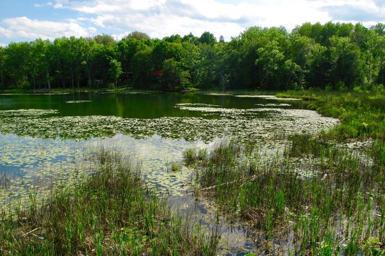
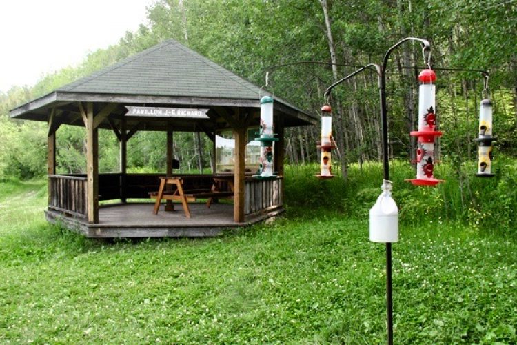
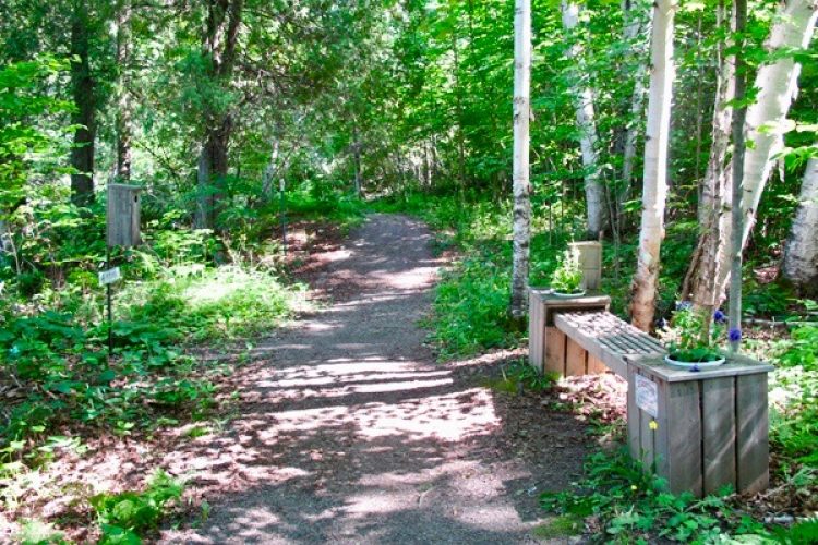
The Marais Laperrière is a very rich and diverse living environment. It acts as a filter and sponge on the water of Lake Laperrière by improving its quality and stabilizing its level. Despite its limited territory (53.4 hectares), the Laperrière marsh invites you to discover the diverse environments. At the reception, an interpretation centre with an exhibition allows you to address different themes. Outside, at first, you are welcomed in a living environment too often underestimated: the field. Along a path, this field becomes barren, then forest, to finally open on the marsh. You make a contemplative stop at the observation tower, in search of one of the many animals hidden in the marsh including the turtle, the Le Conte’s sparrow, the European Spotted Owl and the Swamp Owl. The trail invites you to discover the typical deciduous, coniferous and mixed forests of Témiscamingue. On the way back, this trail surprises you by transporting you into an undergrowth formed of impressive ostrich ferns.
- electrocardiogram Easy
- mountain 2 Km (Mixed)
- calendar seasonal
Sections
L'Accès
- electrocardiogram Easy
- mountain 0.27 km (Linear)
La Boucle du Marais Laperrière
- electrocardiogram Easy
- mountain 1.42 km (Loop)
Le Raccourci du Marais
- electrocardiogram Easy
- mountain 0.10 km (Linear)
Le Sentier du Quai
- electrocardiogram Easy
- mountain 0.09 km (Linear)
Points of service and interest
Category Name
-
 Parking
Stationnement du Marais Laperrière
47°18'33.1"N
Parking
Stationnement du Marais Laperrière
47°18'33.1"N
79°27'11.2"O -
 Bench
Banc
47°18'33.8"N
Bench
Banc
47°18'33.8"N
79°27'04.0"O -
 Picnic table
Tables de pique-nique
47°18'30,009"N
Picnic table
Tables de pique-nique
47°18'30,009"N
79°27'0,976"O -
 Toilet
 sèche du stationnement du Marais Laperrière
47°18'29,581"N
Toilet
Toilet sèche du stationnement du Marais Laperrière
47°18'29,581"N
79°27'2,012"O -
 Belvedere
Belvédère
47°18'18,48"N
Belvedere
Belvédère
47°18'18,48"N
79°26'41,22"O -
Belvedere
Station d'écoute
47°18'26,895"N
79°26'45,683"O -
Bench
Banc
47°18'23,18"N
79°26'44,253"O -
Bench
Banc
47°18'20,912"N
79°26'54,931"O -
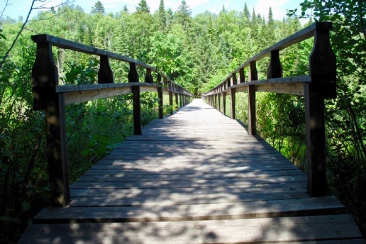
 Bridge
Passerelle du Marais Laperrière
47°18'19.6"N
Bridge
Passerelle du Marais Laperrière
47°18'19.6"N
79°26'46.5"O -
 Observation tower
Tour d'observation
47°18'18,994"N
Observation tower
Tour d'observation
47°18'18,994"N
79°26'41,428"O -
 Dock
Quai du lac Laperrière
47°18'17,298"N
Dock
Quai du lac Laperrière
47°18'17,298"N
79°26'39,279"O
Accessibility
Access Rights
Free, no visitors facilities.
Pets are allowed.
Directions to the starting point
From Ville-Marie, take rue Notre-Dame-Sud for 2.4 km, or until number 400. Trails can also be accessed through the Interpretation Centre, located at 361, Route 101 South.
Specifications
- Bird houses allow the observation of several species of birds.
Comments social0
Tools ready to go
- mapsquare Download GPS track (GPX)
- Google driving directions
-
 Sunrise : 07:30
Sunset : 18:38 -
Equipment for rent Coop de l'Arrière-Pays
- pdf Planification Randonnee Apa
- pdf Equipement Randonnee Pedestre
- pdf Gestion Des Risques Randonnee Pedestre Apa
- pdf Sans Trace Apa
Info & advice
- Activité
- Animation et interprétation
- Camping
- Care
- Carte et orientation
- Caution
- Emergency
- Encadrement
- Equipment
- Jamais sans mon chien
- Nutrition
-
Prevention
- 10 articles de première nécessité
- Bien s'hydrater
- Comment lire la météo dans les nuages? Faire la pluie et le beau temps !
- Éviter les ampoules aux pieds
- Éviter les mauvaises rencontres en milieu sauvage
- Feu de camp sécuritaire : trois étapes à respecter
- Insectifuges
- Les moustiques
- Lunettes de soleil
- MALADIE DE LYME : PRÉVENIR LES PIQÛRES DE TIQUE EN RANDONNÉE
- Perdu en forêt : quoi faire?
- Se protéger contre le soleil
- Vaporisateur Chasse-ours
- Progression
- Réglementation
- Training
Caution
This sheet has been prepared from information provided by outdoor enthusiasts deemed sufficiently reliable and experienced. Errors or omissions are always possible and Tourisme Abitibi-Témiscamingue cannot accept responsibility for any problem or accident that may arise from this sheet or be attributed to its use. If you notice any errors or omissions during your expedition, we would be very grateful if you would let us know by email pleinair@atrat.org in order to keep our information up to date.
