
Mont-Video Hiking trails
Mont-Video Hiking trails
Barraute, Amos Région
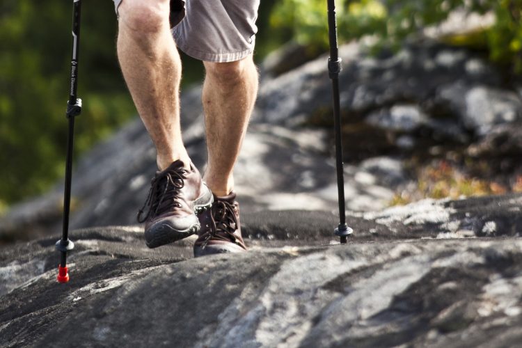
This trail network winds through a forest composed of maple, aspen, and birch, among others. You will circle the hill before climbing it. Along the way, you will see a 3-meter-high waterfall, as well as rock faults and giant’s kettles. At the top of the hill, an observation deck offers a 100 km panoramic view, allowing you to see Lake Roy and nearby towns like Amos. You will also find panels explaining the mountain’s geomorphology
- electrocardiogram Easy to Demanding
- mountain 17.3 Km (Mixed)
- calendar seasonal
Points of service and interest
 Parking
Accessibility
Access right
 Required and payable on a daily or seasonal basis | Visitor facilities.
![]() Pets on leash allowed.
Pets on leash allowed.
Directions to the starting point
From Amos, take Route 111 South. Turn left onto Route 386 East. Turn right onto Route 386 E/397 South. Continue on 1st Rue Ouest. Continue on Chemin du Mont Vidéo.
From Val-d’Or, take Route 397 North. In Barraute, turn left onto 1st Rue Ouest. Turn left again to stay on 1st Rue Ouest. Follow Chemin du Mont-Vidéo for about 11 km. Turn right to reach the mountain. The trailhead is on the left at the parking lot entrance.
Parking (large): Free, open year-round.
Position : 48°25'06,3"N | 77°46'33,6"O
Address : 43, chemin Mont-Vidéo | Barraute, Québec, J0Y 1A0
![]() View the route from your location on Google Map
View the route from your location on Google Map
Contact
T 819 734-3193
service@montvideo.ca
Website
Comments social0
Tools ready to go
- map Guide map (PDF)
- Google driving directions
-
 Sunrise : 07:24
Sunset : 18:29 -
Equipment for rent Mont-Vidéo
- pdf Planification Randonnee Apa
- pdf Equipement Randonnee Pedestre
- pdf Gestion Des Risques Randonnee Pedestre Apa
- pdf Systemes Communications
- pdf Sans Trace Apa
Info & advice
- Activité
- Animation et interprétation
- Camping
- Care
- Carte et orientation
- Caution
- Emergency
- Encadrement
- Equipment
- Jamais sans mon chien
- Nutrition
-
Prevention
- 10 articles de première nécessité
- Bien s'hydrater
- Comment lire la météo dans les nuages? Faire la pluie et le beau temps !
- Éviter les ampoules aux pieds
- Éviter les mauvaises rencontres en milieu sauvage
- Feu de camp sécuritaire : trois étapes à respecter
- Insectifuges
- Les moustiques
- Lunettes de soleil
- MALADIE DE LYME : PRÉVENIR LES PIQÛRES DE TIQUE EN RANDONNÉE
- Perdu en forêt : quoi faire?
- Se protéger contre le soleil
- Vaporisateur Chasse-ours
- Progression
- Réglementation
- Training
Caution
This sheet has been prepared from information provided by outdoor enthusiasts deemed sufficiently reliable and experienced. Errors or omissions are always possible and Tourisme Abitibi-Témiscamingue cannot accept responsibility for any problem or accident that may arise from this sheet or be attributed to its use. If you notice any errors or omissions during your expedition, we would be very grateful if you would let us know by email pleinair@atrat.org in order to keep our information up to date.